





QPS and GISGRO software integration enables new ways to utilize of hydrographic survey data
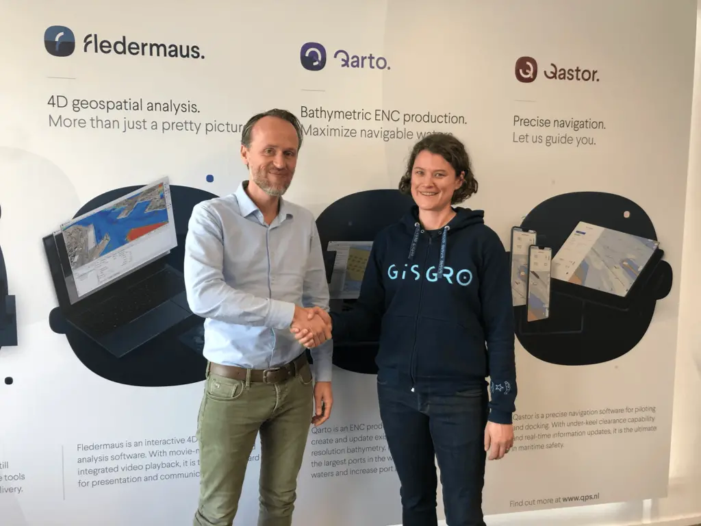
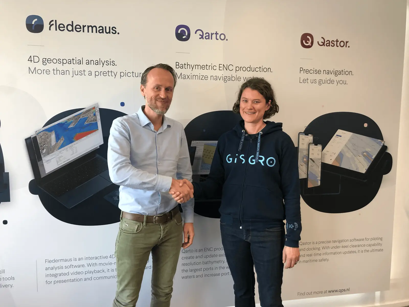
Digital 3D modelling has reached the underwater world, for example in forms of seabed scanning for safe navigation and scanning of underwater structures for maintenance purposes. Constantly growing amount of digital hydrographic data increases a demand for easy ways for data management in the cloud.
QPS software for surveyors covers the whole workflow of a hydrographic survey project. GISGRO online platform complements the workflow by offering a cloud solution, which is for the surveyors an easy online way to report the survey results and deliver 3D data to their clients.
After processing of survey data in QPS software, the surveyor can now directly transfer the data to GISGRO platform, where online visualizing, reporting, and sharing of the data is quick and easy. It is estimated that with GISGRO the reporting time is 60 % shorter compared to traditional reporting methods. Integration between QPS software and GISGRO allows a majority of hydrographic surveyors to gain these benefits.
“Collaboration between VRT and QPS is a great example on how combining expertise of two companies can revolutionize the way of using 3D data. QPS has an extensive knowledge in 3D data gathering and processing. GISGRO’s competence is in delivery, management, and utilization of 3D data. Together QPS software and GISGRO online platform create a whole new service model, which improves customer experience and lengthens the lifecycle of 3D data”, says VRT’s CEO Kirsi Hänninen.
“At QPS we’re continuously working to improve our software solutions for our international client base in the hydrographic survey industry. Therefore, QPS is delighted to be partnering with VRT’s online platform, GISGRO to maximize the delivery, management and utilization of 3D data. This partnership highlights our commitment to developing software packages that require the client needs”, says Managing Director Almar Hollaar.