![PortStrategy[GreenPort]](https://www.portstrategy.com/wp-content/uploads/2026/09/PortStrategyGreenPort.svg)


Total recall: thinking outside the boxes
Forget expansion, focus resources on better box placement on dock, advises Stuart Pearcey
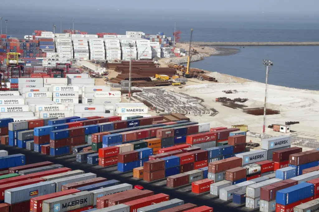
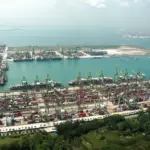
The current global financial downturn could present the perfect opportunity to increase the size of a congested container terminal – or one that had been congested before the money men mismanaged us into this mess.
Madness? Probably, if you measure any increase in hectares or kilometres of quayside – but is either a realistic measure? In those terms, does size really matter? I’d say probably not.
Cast the tape measure aside and measure efficiency instead, and opportunities for ‘virtual enlargement’ begin to open up, and you can scale the mountain by another route. After all, what’s more important, the annual throughput of teus, or the size of the stack of boxes and the land on which it stands outside the office window?
And that’s where a Differential Global Positioning System (DGPS) comes into its own. It proves once again that knowledge is indeed power by making child’s play of finding of a needle in a haystack, and in so doing, allows a terminal to handle more boxes without extending its physical boundaries.
Knowing, with absolute certainty, where any given box is to be found allows more lifts per hour; more lifts per hour means vessels spend less time alongside; customer service level targets are easier to hit, and faster turnaround means your terminal is consistently able to ‘fight above its weight’.
While the accuracy of a conventional GPS device is fine to pin down a yachtsman to the nearest ten or 20 metres, it’s of little practical help in finding one particular box on a quayside as part of a container management system. DGPS, however, changes all that by honing accuracy to a few centimetres.
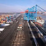
Based on the known, fixed position of the DGPS base station, DGPS calculates the position correction for each of a terminal’s rubber-tyred gantry cranes (RTGs). The central controller on board each RTG is linked over a wireless network, and each RTG carries a DGPS hardware module that links to a static DGPS receiver.
The programmable logic controller (PLC) on board each RTG enables monitoring of twistlock and spreader commands for each crane.
Positioning data is transmitted to and from the RTGs, accurate to within less than 50cm at any time. Supplementary position sensors then correct this tolerance to less than 10cm for maximum precision with container movements. Systems like Autostore, fitted by companies such as Central Systems & Automation, convert the position data – in OS co-ordinates – into centimetre increments that enable it to determine at which row and level in the container stack the RTG should be working.
The result? Terminal operators always knows the exact location of every container to almost the nearest centimetre, enabling a terminal operator to manage all container movements and storage to and from the stack in a highly efficient way.
So that’s the science of box location. But, like so many software solutions, DGPS becomes even more powerful when linked to other bits of software.
In Singapore an intermodal solution is being developed to help with container security and the shipment of perishable cargo that needs cold chain logistics. It’s from Global-I, whose director James Wong says: “With the Global-I intermodal solution, carriers and logistics providers can offer value-added services to shippers and consignees. These providers now have the technical ability to link with shipping lines for real-time status, generate web-based export documentation, and provide electronic tracking. Extending beyond the ship’s platform, our solution can automate the necessary but previously manual tasks of capturing data as well as tracking and locating containers in terminals spread across large areas of land.”
Although Kolkota is more than 120 miles from the sea, it is still India’s second port, and the software is part of the system being used to get as sharp a focus on what’s happening beneath the water as it can offer on land.
It’s being used to make hydrographic surveys more accurate, as well as to provide precise information to support navigation and positioning, datum conversions, route planning with waypoints, cross track error calculations, course over ground and a sophisticated but simple-to-use, helmsman-friendly display.
And still on a river, but within a different continent, similar accuracy is helping to modernise navigation on the Danube. The Austrians use a navigation information and management system called DoRIS (Danube River Information Services), within which DGPS plays a crucial role.
More than 20 DoRIS Base stations provide unbroken distribution of DGPS data, allowing its improved accuracy to become a major factor for those DoRIS services supporting navigation. The information is available to everyone in the logistics and transport chain involved in Danube navigation; as such it increases transport safety and improves the efficiency, profitability and reliability of transport on the Danube.
And still further east, the 100-plus pilots on the Crescent River in New Orleans use handheld DGPS terminals throughout their time on the bridges of the 5,000-plus vessels entering and leaving port each year.
And to bring all of that back to where I started. When it comes to fighting the congestion of crowded terminals and waterways, isn’t the best way forward to think outside the box and seek out software synergies that will help us all to do more with less space, and yet still do it safely?
Related Articles
 CONTAINER & CARGO HANDLING
 CONTAINER & CARGO HANDLING
 BULK HANDLING