![PortStrategy[GreenPort]](https://www.portstrategy.com/wp-content/uploads/2026/09/PortStrategyGreenPort.svg)


Satellites to enable safer shipping
A UK-first collaboration is using satellites to monitor coastal changes in a bid to create safer shipping navigation channels.
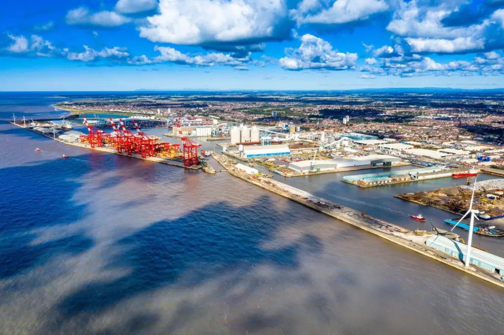
The project will see Peel Ports partner with the National Oceanography Centre (NOC) and Channel Coastal Observatory to use satellite surveillance to determine where maintenance is needed over a six-month period.
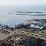
Funded by UK Space Agency Small Business Research, the NOC will use its coastal mapping technology to inform where dredging should be targeted across the Mersey and Medway estuaries, helping secure safer access to the Port of Liverpool and Port of Medway.
“Understanding the dynamics across our sites, and publishing accurate information, is vitally important to us and all those who rely on the waterways under our responsibility,” said Gary Doyle, group harbour master at Peel Ports Group.
“We are constantly evaluating new technologies and this project will provide information on adding an additional flexible asset to our inventory. It will also allow us to assess what impact it will have in support of our marine decarbonisation plan.”
Traditionally, marine observation and maintenance is carried out using environmental surveys and annual dredging programmes, which come at high cost and provide limited data.
By using NOC’s coastal mapping capabilities, Peel Ports will be better informed by data which maps marine features, including challenging intertidal areas that see the most changes.
The SBRI’s funding for the project came from its Unlocking Space for Business initiative, which gives applicants a share of £2m to combine terrestrial technologies with satellite data for transport, logistics and financial services.
Related Articles
 OTHER NEWS
 OTHER NEWS
 OTHER NEWS