




Pinpoint accuracy provides Antwerp solution
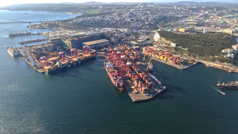
Positioning specialist Septentrio used a combined technology system for PSA HNN’s container yard operations at the Port of Antwerp.

Its PolaRx2 receiver provides accuracies from 1.2 metres-2 metres down to 2 cms-5 cms, depending on the technique used. Special firmware is used to limit the influence of reflections and to re-establish the GPS signals very fast after any signal interruptions – an important feature as the straddle carriers are often moving beneath the large cranes, where GPS signals can be obstructed.
In order to provide the required level of accuracy – 99.9% of the time – Septentrio also used information from the European Geostationary Overlay System (EGNOS), which consists of a network of ground stations, spread out all over Europe, and three geostationary satellites.
The ground stations continuously monitor the performance of the GPS system – this information is used to compute corrections, which are transmitted to the users by the geostationary satellites.
“A GPS receiver capable of receiving EGNOS signals, like the PolaRx2, can use these corrections to improve their position solution,” saysthe company’s Jan Leyssens. “Unlike other differential GPS techniques, this approach does not require a separate reference receiver. There is also no need for a radio infrastructure to send corrections from the reference receiver to the receivers on the straddle carriers.”
Septentrio worked with container terminal staff to create a link between the PolaRx2 receiver and the central yard management software.
If the straddle carrier driver picks up a wrong container, or drops one off at the wrong location, the yard management system will automatically send a warning to the dispatcher, who then contacts the driver to correct the error.
Related Articles
 TERMINAL OPERATIONS
 CONTAINER & CARGO HANDLING
 NEWS
NEWS